Locations
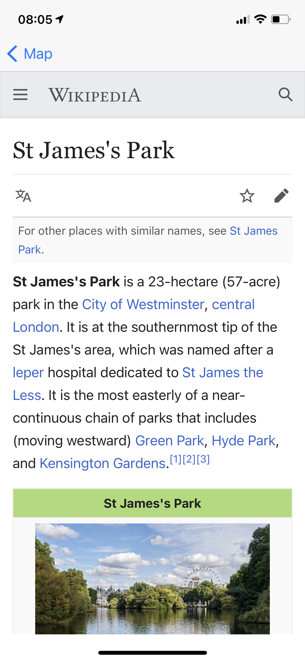
Explore the world with rich location info for over 98 million points of interest, including 4 million Wikipedia articles.
locations worldwide
Create with rich points of interest data for the entire world.
updates every month
Rely on precise, up-to-the-minute location data. Built by more than 9 million contributors.
active users every month
Map confidently and join more than a billion others that use OpenStreetMap every month.
Offer your users the information they look for to plan a trip to Tokyo or to select a ramen restaurant near them. You can give users details about a location’s name, address, evaluations, ratings, contact, and ambiance using Places. Tens of millions of releases are provided every day by tour experts and consumers so that precise and trustable services can be obtained.


Giving your drivers the specific addresses based on the users’ registered location, you will avoid missed pickups. Allow users to enter accurate payment information by suggesting addresses as they write. You can give your customers the data they need, right when they need it, by combining our powerful location data and mapping features with up-to-date Places data.
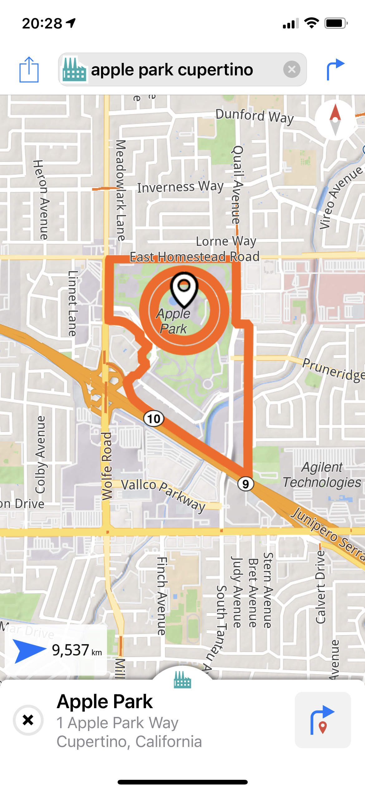
Forward geocoding converts location text into geographic coordinates, turning 1 Apple Way, Cupertino into 37.334722, -122.008889. Reverse geocoding turns geographic coordinates into place names, turning 37.334722, -122.008889 into 1 Apple Way, Cupertino.
People make an average of 39 mistakes per 100 words when writing social media posts. So we thought, let’s make a fuzzy search that is forgiving and location aware. And so we did.
Use information from over 70 million locations and places of interest to assist users in finding you, getting more customers through reviews, and even identifying fraud attempts. You can expect the same elevated Magic Lane Maps, Location & Navigation Platform experiences whether you’re running your business in Rome or New York.


Names, addresses and other details such as evaluations, comments, or contact information are available for over 70 million locations.
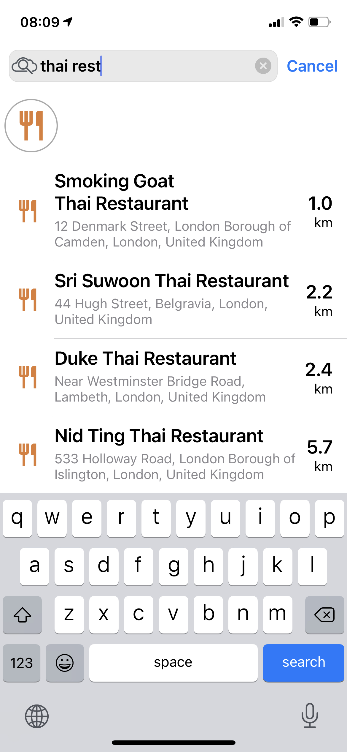
Create a location out of a phone number, address or name.
Translate addresses to geographic coordinates or the other way around.
Display a time zone for any place.
With all the information stored on your device, you don’t need to wait while map tiles download. That is, of course, if you have network coverage, because in almost 5% of all miles of motorways in the United Kingdom there is still no 3G coverage.
So before leaving home or the office, you can download entire countries or regions.
Bring interactive customizable real-world maps to your users in 3D. No matter whether they are online or offline.
Easily find the best route to a desired destination with precise data and live traffic. Regardless whether your users are online or offline.
Dashcam and Advanced Driver Assistance modules for Android and iOS. Smart collaborating software modules using deep learning and Artificial Intelligence.